Olinda, CA!
All photos taken by me.
(Just thought I 'd throw that in) : )
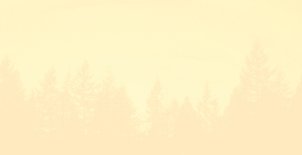
This is the route I took, and the pictures run in this order.
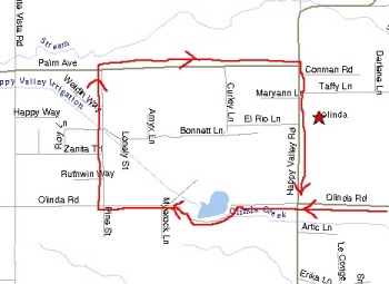
This is just outside downtown Anderson, heading up a familiar hill.
This picture was taken 10/09/2001.
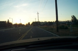
A bit dark, but this is the 4-way stop a block or so from Pine Street.
This is where I learned the driving term "California Stop."
I don't recall what was on the south-east corner of this intersection back
in the 70s, but now there is a fairly new looking strip mall and a nice
grocery store which I'm sure is putting pressure on the Olinda general store.
This picture was taken 10/09/2001.
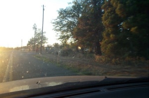
Going west on Olinda(?) Street with Pine Street coming up on the right.
(The utility pole is on the north-east corner of Pine Street at Olinda Road.)
This picture was taken 10/09/2001.
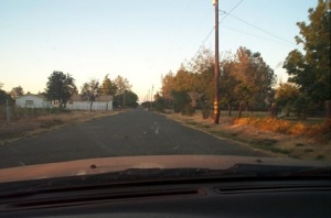
Looking down Pine Street, heading north from the south-end of the street.
This picture was taken 10/09/2001.
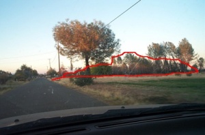
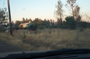
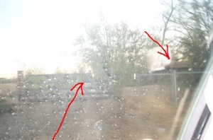
About mid-block, heading north on Pine Street.
The red highlighted area is the row of taller trees
that marked the south end of the property. The Anderson house
is not yet in view.
This picture was taken 10/09/2001.
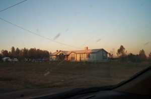
This is the property of the Anderson house, and what I believe to
be a new house, rather than the original house -- or, possibly a remodeled original.
When I saw this in 1999, the trees and bushes immediately around the house
blocked the view of the building save for the roof and the rooftop air conditioner.
Also in 1999, the property to the south of the building seemed to have more and fuller
bushes and trees, and the lot was littered with car carcasses.
This picture was taken 10/09/2001.
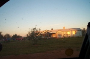
A closer view of the house. Notice the flush front end. I remember the
house as having a house that went about 10-15 feet farther west than the garage.
And I recall the house being more east-west justified, whereas this appears more north-south,
and does not appear to have a separate garage.
This picture was taken 10/09/2001.
Closer to the house.
This picture was taken 10/09/2001.
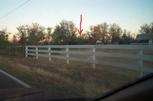
In this picture, you can see the back yard of the house on the corner of
Pine Street and Palm Avenue (what I remember us referring to as "the rich people's house").
You can also see the fairly small "Mike, Paul and Ray" house under the arrow.
This picture was taken 10/09/2001.
A bad picture looking up the driveway at "Mike, Paul and Ray's" house.
Arrows indicate the house and the driveway. Out of view is the sign reading "Watch for Animals",
which I believe to be the original sign we watched Mike put up the day after a puppy got run over
back in the 70s.
To the left would be the neighboring farmyard where the one or two horses lived.
This picture was taken 10/09/2001.
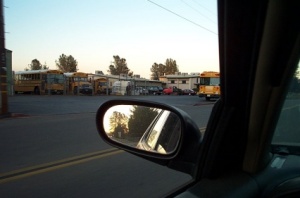
Parking lot toward the west end of the Happy Valley school. The main building
can partially be seen next to the bus at right.
Just to the west, and also on the south side of Olive Way(?) was some fresh
forest fire burn.
This picture was taken 10/09/2001.
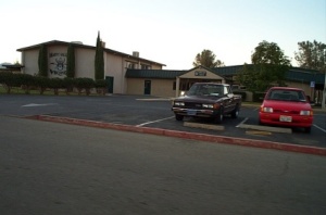
The main building of the "Happy Valley Vikings".
This picture was taken 10/09/2001.
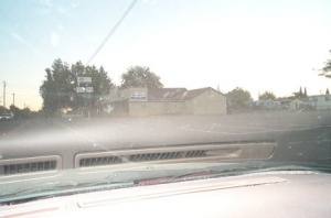
The general store and gas station on Happy Valley Road. In 1999, this building was a burned-out
shell. As a kid, I remembered the distance from this store and the Anderson
house to be about a mile. However, I would now estimate the walk to be about
1/4 mile.
This picture was taken 10/09/2001.
- 30 -
Images: © 2001 David M Martin
XHTML: © 2003 David M Martin